
El Nino
Segment #1038
The WSJ email means the United States—especially the southern tier—is likely facing a wetter, stormier winter in 2026–27. It does not mean the entire country will experience continuous extreme weather.
NOAA currently says El Niño is strengthening and gives a greater than 90% chance that it will become a very strong event during fall and winter 2026–27. A strong El Niño shifts the Pacific jet stream southward across the United States, changing where storms travel. NOAA’s current ENSO status
Likely U.S. effects
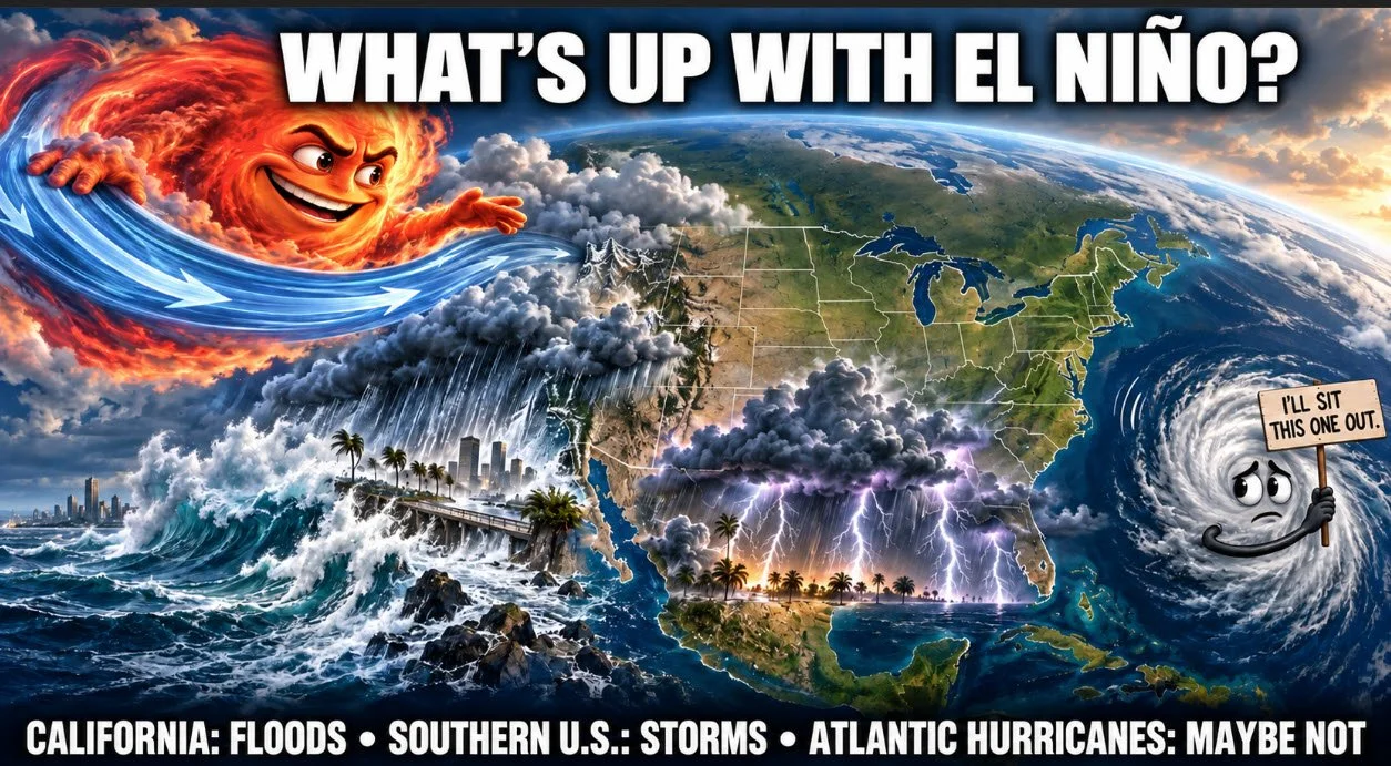
RegionMost likely effectTexas and Gulf CoastWetter and cooler winter; more frequent storm systems; increased risk of heavy rain, flash flooding, hail and severe thunderstormsCalifornia and SouthwestMore rain and mountain snow; beneficial water supplies, but substantial risk of flooding, mudslides and coastal erosionSoutheastWetter winter with recurring storms and possible river floodingNorthern U.S.Generally warmer and potentially less snowy than normalPacific NorthwestOften warmer and drier, raising longer-term water and snowpack concernsAtlantic and Gulf hurricane zonesUsually fewer hurricanes because El Niño produces upper-level winds that disrupt storm formationEastern and central U.S.Periodic major winter storms remain possible, although the northern states may average warmer overall
The National Weather Service describes the classic strong-El-Niño pattern as above-normal precipitation across the southern United States and above-normal temperatures across much of the northern United States. National Weather Service explanation
What it means specifically for Dallas
For North Texas, the principal concern is probably not a hurricane or months of uninterrupted rain. It is an increased likelihood of:
Frequent winter storm systems
Episodes of very heavy rain and urban flash flooding
Strong thunderstorms, hail and occasional tornado risk
A cooler, cloudier winter on average
Possible freezing rain or ice when cold northern air collides with moisture carried in by the southern jet stream
A wetter winter could improve Texas reservoirs and drought conditions, but intense rainfall may arrive too quickly to be entirely beneficial.
Economic consequences
Nationally, this could mean:
Higher insured losses from floods, hail, mudslides and coastal damage
Transportation and supply-chain interruptions
Agricultural gains in some drought-stricken areas but crop losses where flooding occurs
Higher prices for globally traded foods affected by droughts in Asia, Australia and parts of Latin America
Lower Atlantic hurricane losses than otherwise expected—although one landfalling storm could still be catastrophic
Increased federal, state and municipal disaster-response spending
Important qualification
The email’s phrase “the strongest in at least 70 years” is dramatic. El Niño predicts a seasonal tendency, not the location or timing of individual disasters. Even a “super El Niño” does not guarantee catastrophic flooding in California, severe weather in Texas, or a hurricane-free Atlantic. Local conditions and shorter-term atmospheric patterns still determine what actually occurs.
Bottom line: For the U.S., the outlook shifts much of the winter-weather burden toward California, Texas, the Gulf Coast and the Southeast, while the northern states are more likely to have a warmer winter. For you in Dallas, the practical concern is a wetter, stormier winter with greater flash-flood, hail and occasional ice risk—not necessarily an unusually brutal or continuously cold winter.
Forecast Probability
For the current 2026 situation, confidence is exceptionally high. NOAA’s September 2026 official forecast gives El Niño a 100% probability for September–November through January–March, 97% for February–April, and 82% for March–May. The August IRI model suite was similarly emphatic: all participating models showed continued positive Niño-3.4 anomalies, with nearly all forecasting anomalies above +2°C during August–October—consistent with a very strong event.
The interesting part is how dramatically the forecast improved during 2026. In January, models put the probability of El Niño at only about 48–51% for the latter part of the year and explicitly warned about the spring predictability barrier. By May, that probability had jumped to roughly 97–98%.
So I would separate two questions:
QuestionConfidence nowWill El Niño occur/persist this fall?Extremely high (~100%)Will it persist through winter?Extremely high (~100%)Will it be a strong/very strong El Niño?High, but intensity is less certainExactly what weather will occur in Texas or elsewhere?Much less certainExact rainfall/temperature for a particular cityFar less predictable
That last distinction is important. A 100% El Niño forecast does not mean a 100% accurate winter-weather forecast. ENSO describes the state of the tropical Pacific. Its effects shift the odds of rainfall, temperature, storm tracks, etc., but other atmospheric patterns can overwhelm the typical El Niño signal in a particular region or month.
In fact, the evolution this year is a good illustration of why you shouldn't put too much weight on an El Niño forecast made 8–12 months in advance: in December 2025, the model-based forecast put the probability of El Niño by July–September 2026 at only 38%. Today the event is essentially certain. That's a substantial forecast revision.
Bottom line: If the question is “Are the forecasters probably right that we have a significant El Niño in 2026–27?” — yes, confidence is now extraordinarily high. If the question is “Does that mean their predictions about what this El Niño will do to Dallas/Texas this winter are equally reliable?” — no. Those regional impact forecasts carry substantially more uncertainty.